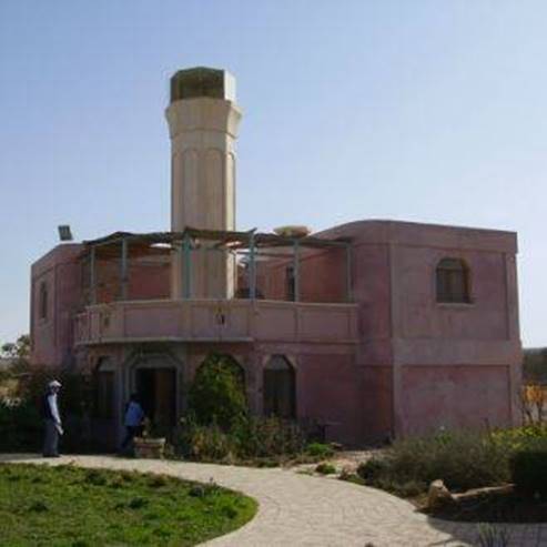
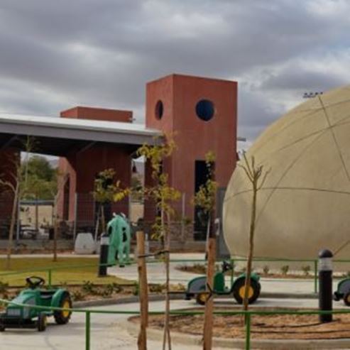
Yahel for Families
For families
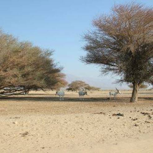
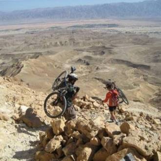
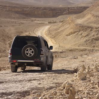
Route description: Operation Uvda - On the hillside west of the road you'll see three symbols painted on the rocks. On the left is a symbol of the Golani Brigade, at the center is an IDF emblem and on the right is the emblem of the Palmach. The symbols were apparently drawn by units that participated in Operation Uvda or shortly after the operation ended. The Israeli-Jordanian border - the international border with Jordan as determined and marked in the 1994 peace talks. The border in the Arava was first established by the British in 1922 between the Emirate of the Transjordan, to the Hashemite Kingdom of Jordan, and the territory of the British Mandate in Israel. The border was set at the lowest point in the valley. With the armistice at the end of the War of Independence, the sides adopted the route of the border, but the agricultural areas that flowed eastwards were annexed to Israel. The fields of Kibbutz Lotan show that the border turns east and surrounds the agricultural areas. |
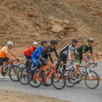
- Тип
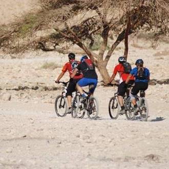
- Велоспорт
- Регіон
- Ейлат
- Довжина
- 12 KM
- Тривалість
- hours 2
- Рівень складності
- Середній
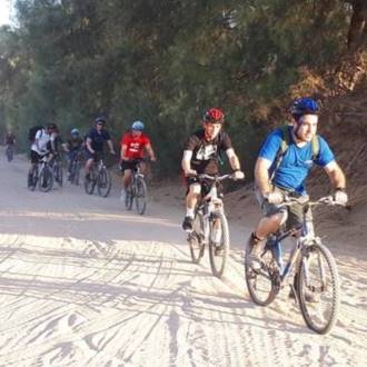
- Відправна точка
- Kibbutz Yahel (карта)
- Кінцева точка
- Kibbutz Yahel (карта)
- Карта
- Map no 20
- Паркінг
- Паркінг
- Доступність
- Доступний
- Круговий
- Круговий
- Вода питна
- Вода питна
- Підходить для дітей
- Підходить для дітей
- Підходить для пікніка
- Підходить для пікніка
- Телефон
- +972-8-6616976
Подібні стежки
Від гори Аїт до піщаних дюн Касуй
Ma'ale Grofit, the Uvda Valley and the Nahal Kasuy dunes, and the Mount Ayit observation point
Цікаві місця поблизу