Yahel for Families

For families

Route description:

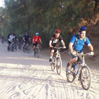
Crossing the Arava road through an underground passage and riding northward.
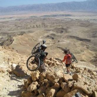
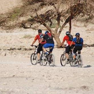
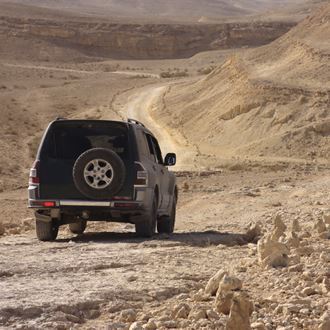
At the Arandal Farm (formerly a military outpost and today a small community that deals with tourism and agriculture), turn east. The cycling route passes through open and undisturbed areas, facing the Edom Mountains. You will continue riding in the agricultural fields of Kibbutz Yahel heading west, back to the kibbutz.

The route passes through Heritage sites:

Operation Uvda - On the hillside west of the road you'll see three symbols painted on the rocks. On the left is a symbol of the Golani Brigade, at the center is an IDF emblem and on the right is the emblem of the Palmach. The symbols were apparently drawn by units that participated in Operation Uvda or shortly after the operation ended.
In this operation, the Palmach Brigade and the Golani Brigade arrived at "Um Rush Rush" in the Gulf of Eilat. The Golani Brigade symbol is renewed from time to time by soldiers.
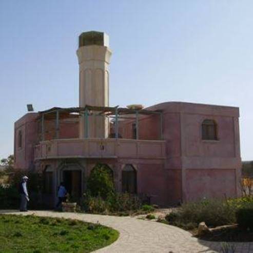
Arandal Observation Point - an agricultural farm located north of Kibbutz Yahel.
The farm was built on the remains of a Jordanian police station and later served as an IDF outpost. The remains of the milestones indicate that the hill was a meeting point on the "Spice Route," and some believe that Arandal was one of the roadside stations on the journey of the Israelites from Egypt. Near the hill is a Roman fortress. A similar fortress was discovered in the oasis of Yotvata.

The Israeli-Jordanian border - the international border with Jordan as determined and marked in the 1994 peace talks. The border in the Arava was first established by the British in 1922 between the Emirate of the Transjordan, to the Hashemite Kingdom of Jordan, and the territory of the British Mandate in Israel. The border was set at the lowest point in the valley. With the armistice at the end of the War of Independence, the sides adopted the route of the border, but the agricultural areas that flowed eastwards were annexed to Israel. The fields of Kibbutz Lotan show that the border turns east and surrounds the agricultural areas.

Google Maps
Typ
Radfahren
Region
Elat
Länge
12 KM
Dauer
hours 2
Schwierigkeitsgrad
Mittel
Startpunkt
Kibbutz Yahel (karte)
Endpunkt
Kibbutz Yahel (karte)
Karte
Map no 20

Parken
Parken
Zugänglichkeit
Zugänglich
Kreisbahn
Kreisbahn
Trinkwasser
Trinkwasser
Geeignet für Kinder
Geeignet für Kinder
Picknick geeignet
Picknick geeignet

Telefon
+972-8-6616976

  Ähnliche Wanderwege

The ecological route

The ecological route

For families
Elat
Yotvata Fields

Yotvata Fields

For families
Elat
Single Shaharu

Single Shaharu

For professional riders only
Elat
From Ayit Mountain To Kasuy Vally
From Ayit Mountain To Kasuy Vally

Gerader Wanderweg (kümmern sich um einen Platz im Sammelbus am Ende der Strecke)
Elat
Tigers Temple and Gev Ashron Ovda

Tigers Temple and Gev Ashron Ovda

Prähistorische Stätte
Süden
Khan Shaharut, Kisuy Dunes, and the Uvda Valley

Khan Shaharut, Kisuy Dunes, and the Uvda Valley

Wandern, Fahrzeugroute
Süden

  Sehenswürdigkeiten in der Nähe
Neot-Smadar-Weingut

Neot-Smadar-Weingut

Weingüter
Kibbutz Neot Semadar
Öko-Touren im Kibbuz Lotan

Öko-Touren im Kibbuz Lotan

Landwirtschaft
Kibbutz Lotan
Loten-Vogelzentrum

Loten-Vogelzentrum

Vogelbeobachtungszentren
Kibbutz Lotan
Red Mountain Therapeutic Riding Center

Red Mountain Therapeutic Riding Center

Natur und Tiere
Kibbutz Grofit, Eilot 8882500
Yotvata-Park

Yotvata-Park

Museum und Kultur
Kibbutz Yotvata
Yotvata - Ein Radian

Yotvata - Ein Radian

Natur und Tiere
Near Kibbutz Yotvata