Between Ein Netafim and the Nahal Gishron observation point
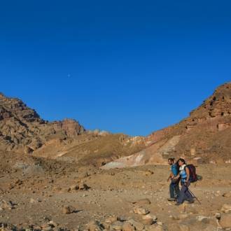
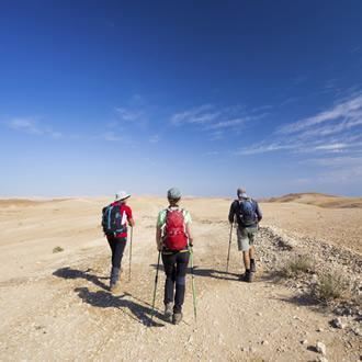
Families, hikers
The trail is suitable for all private vehicles, and it includes two walking trails (about two hours each) suitable for the whole family.
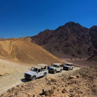
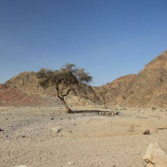
The beginning of the trail is at the western traffic circle of Eilat at the beginning of the Ma'ale Eilat road (Route 12). You will go with the road to the signs pointing to the right, to a dirt road, marked with a red trail marker that descends to Ein Netafim. You will park the vehicle on the side of the road and go down, about 1 km to the observation point from the top of the Ein Netafim waterfall. (Owners of a 4x4 vehicle can continue on the dirt road to the parking above the waterfall and to the sign towards the path down to the spring). If you can walk to the observation point quietly, the chances of seeing Ibex and the Rock hyrax in the bushes near the spring at the bottom of the waterfall are more likely.
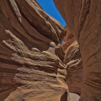
You will walk the circular footpath, aided by posts fixed in the rock, and descend through a crack in the rock to the spring at the bottom of the waterfall. The trail marker is now green. At the bottom of the trail, about 100m down the wadi to the right is a red marked trail leads you to the southern bank of Nahal Netafim and then again to the right, following the black trail marker back to the top of the waterfall.
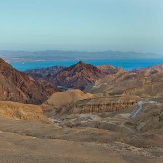
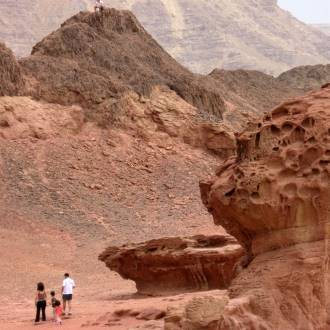
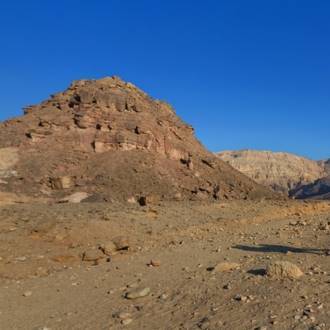
You will return by car to the Ma'ale Eilat road and cross it southward. Here another circular trail begins to the upper channel of Nahal Gišron. You will follow the trail marked with black to a channel interspersed with red sandstone. To the right of the trail, you will see a predatory trap (a 'tigers trap') and a continuation of an ancient Arabic inscription. The channel has large quartz pebbles that are characteristic of this layer of ancient sandstone. A stack of dry bones attests to the activity of Hyena's in the wadi, nearby an abandoned den. The path rises to the left bank of the gorge and reaches a spectacular observation point above the deep canyon of Nahal Gišron. The canyon below you connects to bedrock along with a geological fault line and constitutes the border between Israel and Egypt. To the west of you on a hill across the ravine, you will see a pair of border stones.
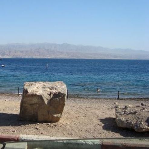
Looking south along the stream channel you will see the Red Sea and the Taba Hilton hotel which is already in Egyptian territory. To the east of the observation point is a meeting of the trail marked black with a trail marked blue. You turn right and north with the blue marker. Now you are also accompanied by the three-color trail marker of the Israel National Trail, a 1km walk back to the Ma'ale Eilat road where you left the vehicle. The trip back to Eilat is particularly beautiful. Once in a while, the view of the bay, Eilat, and Aqaba are in plain sight.
Written by: Assaf Holzer
Photo: Dafna Tal for the Israeli Ministry of Tourism
- 类型
- 远足, 车辆路线
- 地区
- 埃拉特
- 长度
- 4-5 km
- 持续时间
- hours 4
- 难度级别
- 中等
- 初始点
- Dolphin Square (地图)
- 结束点
- Dolphin Square (地图)
- 地图
- Map no. 20
- 停车处
- 停车处
- 圆
- 圆
- 适合儿童
- 适合儿童
- 电话
- +972-8-6616976
- 电子邮件
- tayaroot@gmail.com
类似路线
附近的景点


附近的餐馆