On the Israel Trail to the top of Mount Timna
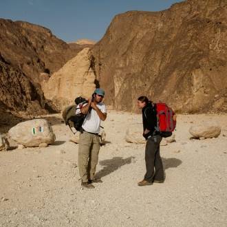
Families, hikers
Trail Markers: Red with the marking of the Israel National Trail
You must bring a sufficient supply of water, a hat or head covering, and shoes for walking outdoors.
Walk only marked trails.
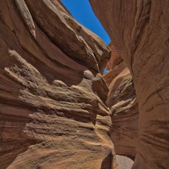
The trail begins at the entrance to the park. After a short walk, you will descend with the trail to the stream channel and continue up the wadi. The stream is called the ""Diagonal Stream"" because it diagonally crosses Mt. Timna to a northeast-southwest direction. The channel in front of you is due to ancient erosion that is visible to your left. On the eastern bank of the stream, one can see how floods have reduced and gnawed at the base of the channel, resulting in the collapse of certain sections of it, and the expansion of the channel. In the wadi, you can see sections of a vehicle road that were made as part of the attempts to locate and quarry copper deposits on Mt. Timna. A sharp turn to the left of the channel leads you to a series of dry waterfalls - rock steps through which you can climb. These rock terraces were created in places where the type of rock changes.
Rock Intrusion - A ""Dike,"" is the phenomenon of the penetration of molten rock material from the Earth's crust into the solid rock. Around another bend to the right and you'll find a section of another vehicle road, cut into the tattered rock, with a greenish tinge called the ""grass rock."" After another short section of the wadi, the trail turns right, west from the main channel and climbs to the flat top of Mt. Timna. On your way, the type of rock varies from basic rock (mainly granite) to bedrock - red sandstone.
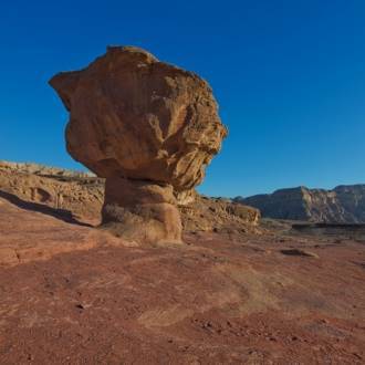
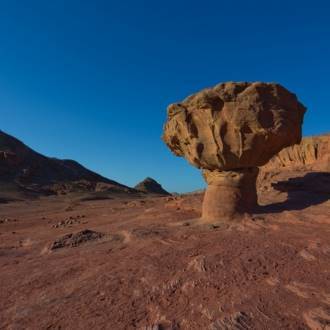
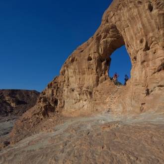
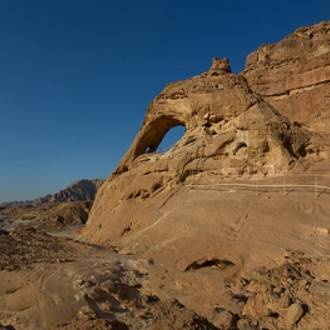
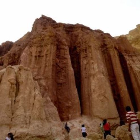
Climbing to the top of the mountain you'll notice another change in the surrounding rock. The cliff that is at the top of the mountain is built of a layer of dolomitic sandstone and clay called the ""Timna Formation."" The green color in the rock indicates copper minerals. From the top of the mountain, there is an impressive observation point towards the Arava Valley, the Timna Valley and the surrounding cliffs.
The remaining trail continues downhill from the top of the mountain to the west and then south. Continue with the trail marking until you exit the wadi.
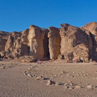
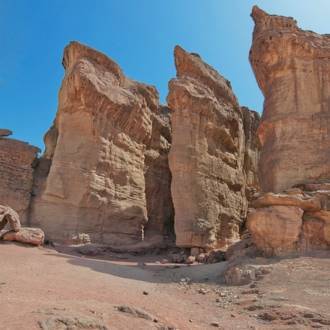
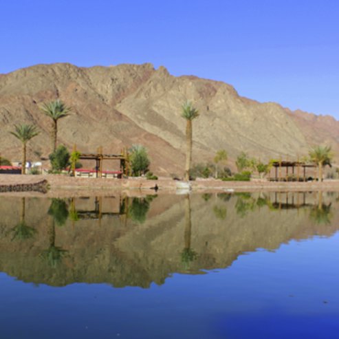
Here, too, you will see a section of a dirt road that leads you down the wadi, which opens to the south of the Timna Valley. From here you can continue to the left with the marking of the Israel Trail to the road leading to the lake, or turn right towards Solomon's Pillars.
Written by: Assaf Holzer
Photo: Dafna Tal for the Israeli Ministry of Tourism
- 类型
- 远足
- 地区
- 埃拉特
- 长度
- 6 km
- 持续时间
- hours 4
- 难度级别
- 中等
- 初始点
- Timna Park (地图)
- 结束点
- Shlomo columns (地图)
- 地图
- Map no. 20
- 停车处
- 停车处
- Admission
- 入场费
- 饮用水
- 饮用水
- 适合儿童
- 适合儿童
- 适合野餐
- 适合野餐
- 电话
- +972-8-6616976
- 电子邮件
- tayaroot@gmail.com
类似路线
附近的景点

附近的餐馆