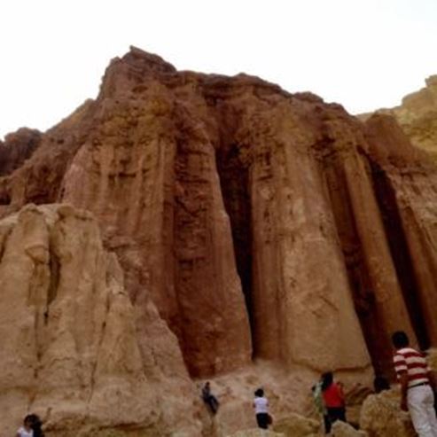
The Pink Canyon and the Roman Cave at Timna Park
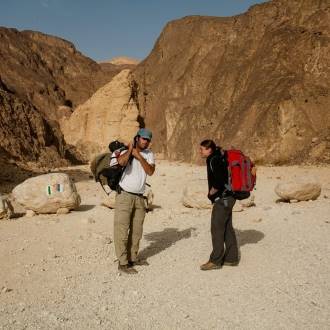
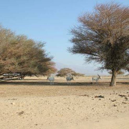
Families, hikers
Trail Color Markers: black, blue, green and then black again
At a section where vehicles can cross the wadi, we turn westward up a wide channel of Nahal Timna. Pay no attention to the green trail marker on the left (with which we will return at the end of the trail), and continue with the black marker. After a left curve in the channel, you will meet the blue trail marking. Continue with it to the left about 20 minutes, and you'll reach the 'Roman cave.' This is what the rock shelter on the left is called, on the south bank of the gorge. Remains of an ancient structure were left inside the covered space on the right side. Opposite the cave, on the rock wall to the left, is the inscription that mistakenly gave the place its name. This is a Nabatean burial text written in Greek.
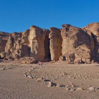
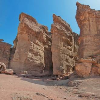
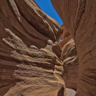
Another short walk up the wadi brings you to the 'Pink Canyon.' The nahals' channel becomes narrow and turns into a small gorge in pink sandstone. After the passage in the wadi, you'll see white sandstone and ancient copper mines that were hewn in the side of the channel.
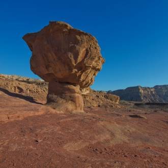
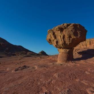
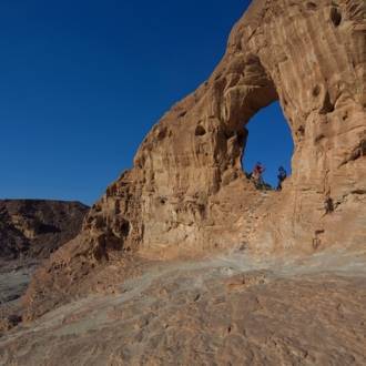
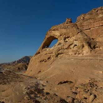
At the fork, the channels branch out with green trail markers and lead to the channel on the right. Turn right after it up the gully. Around you are a variety of shapes and ""natural sculptures"" created as a result of the weathering processes in the rock. After about half an hour you will reach a round rock arch on the left bank of the channel. Before the arch, turn left and climb the channel to the 'plates' - these are ancient mining shafts that have been blocked. In front of you, you'll see two rock cones, natural stone pyramids. Continue south on a small channel and then on a clear path to an ancient mining shaft.
From here you will turn left through a small channel to the central channel of the wadi and to the meeting with the blue trail markers that passes through it. The green path crosses the channel and climbs eastward. You will continue following the green markings to a large field of 'plates,' with vehicle trails made by the Timna mines as part of the surveys to locate copper deposits. You will be able to see the drillings done there. You will cross the plain. You will ignore the roads that cross it and continue eastward following the green markings opposite the flat peak of Mt. Timna. At the eastern end of the field, a channel has developed with which you descend with the markings until you encounter the larger channel of Nahal Timna and the black trail markings where you began your trip. Turn right down the channel to the starting point where the road crosses the channel.
Written by: Assaf Holzer
Photo: Dafna Tal for the Israeli Ministry of Tourism
- 类型
- 远足
- 地区
- 埃拉特
- 长度
- 4 km
- 持续时间
- hours 3
- 难度级别
- 中等
- 初始点
- Timna Park (地图)
- 结束点
- Timna Park (地图)
- 地图
- Map no. 20
- 停车处
- 停车处
- Admission
- 入场费
- 圆
- 圆
- 饮用水
- 饮用水
- 适合儿童
- 适合儿童
- 适合野餐
- 适合野餐
- 电话
- +972-8-6616976
- 电子邮件
- tayaroot@gmail.com
类似路线
附近的景点

附近的餐馆