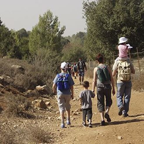
Adir Mountain Overlook
Visit the observation point

Har Adir Viewpoint
The Israel Nature and Parks Authority has set up a beautiful viewpoint on Har Adir, not far from Kibbutz Sasa.
The viewpoint is situated at the heart of an evergreen grove and looks out over the Galilee and southern Lebanon.
Main points of interest:
Viewpoint looking over the Upper Galilee and southern Lebanon
Mediterranean woodland flora
Viewpoint
From the top of Har Adir
Israel Nature and Parks Authority activities to improve visitor services and preserve the site
The Authority has allocated a parking area at Har Adir, built a lookout balcony and put up explanatory signs. The Authority has marked out a walking path from the top of Har Adir to Route 899.
How to get here:
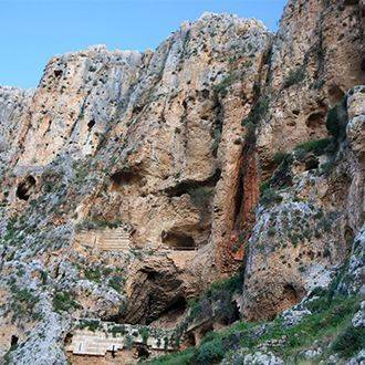
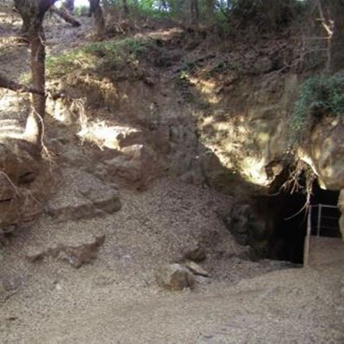
Travel west from the Hiram junction on Route 899, and park after around 1.5 km next to the sign pointing south to the Pa'ar Cave. For Har Adir continue west for around 2.5 km, and turn left on the road which goes up to Har Adir.
Background
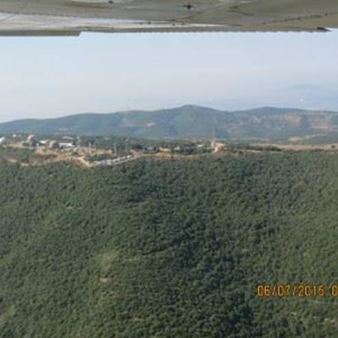
Har Adir (Jabel Atadir) is one of the tallest in the Galilee, rising to a height of 1008 m above sea level. The slopes of the mountain are covered in dense woodland. The dominant trees are the common oak and the kermes oak, and other woodland plants such as the Palestinan terebinth, the Crataegus azarolus and the Arbutus andrachne.
At the top of the mountain is a military base (easy to recognise because of its many antennae). On the northern slope there is a small group of Eriobolus trilobatus, a very rare species of tree in Israel.
Trip route
1. Har Adir
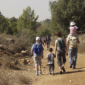
You can drive to around 200 m away from the viewpoint, located north of the military base. The path is well sign-posted. Those who walk along this path have the opportunity to stroll around wet woodland, including the kermes oak, a tree which grows on the highest peaks of the Upper Galilee, mainly on Mt Meron. Here you will also come across Rubus canescens hedgerows, another species that characterises the wet woodland.
The Israel Nature and Parks Authority, with help from the KKL, has set up a viewpoint on the mountain, with a large balcony. The balcony looks out over many sites in Lebanon which were host to battles in the Second Lebanon War (summer 2006). Along the balcony's railings there are signs with orientation maps, explanations of the phases of the war and plates bearing the names of 121 soldiers who fell. The viewpoint was set up at the request of the families of those soldiers.
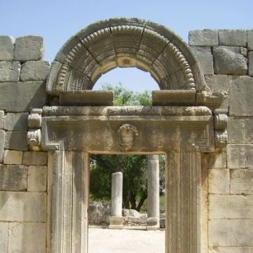
At the top of the mountain a large fortress from the Iron Age has been uncovered.
It is a square building (approximately 50x50 m) surrounded by a cage wall. Clay vessels demonstrate a link to the Phoenician area, and the fortress might have been an outpost of the great city of Tyre, intended to defend it from the Kingdom of Israel. A pick-axe made of iron and containing carbon was found in one of the rooms.
This is the earliest evidence of a steel tool in Israel! The fortress was damaged during the construction of the military base.
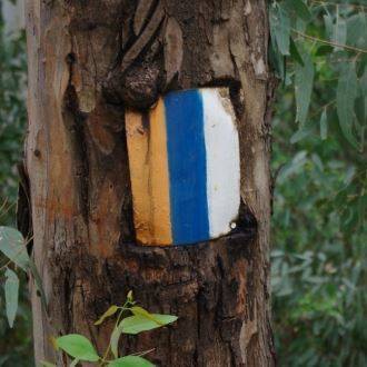
2. The path from the top of the mountain
A very steep path of around 1.5 km, marked in green, leads down from the top of Har Adir to Route 899, around one kilometre west of the Pa'ar Cave. The path is suitable for experienced hikers only. We recommended pre-arranging a shuttle from the end of the track to the starting point.
Photo - Dr. Avishai Teicher - Pikiwiki Web
- Type
- Hiking
- Region
- North
- Near to
- Safed
- Length
- 200M
- Duration
- Half an hour
- Recommended season
- Spring, Summer, Autumn, Winter
- Starting point
- Parking Adir Mountain (map)
- Ending point
- At the starting point (map)
- Special equipment
- Hat, Shoes, Water
- Precautions
- On the descent from Mount Adir, one must tread very carefully
- Parking
- Parking
- Circular
- Circular
- Suitable for children
- Suitable for children
- Picnic suitable
- Picnic suitable
Similar trails

Israel National Trail Part 6 - Nahal Meron to Nahal Amud


Nearby attractions
Nearby restaurants