The Majrase Route
Walking in shallow water
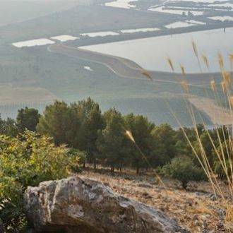
The streams running down from the Golan and spilling out into the Kinneret have created the Beit Tsaida valley, a unique landscape of lagoons and rivulets. Visitors are welcome to get into the lagoon formed by Nahal Daliyot, and to get to know the unique natural world here. The Israel Nature and Parks Authority has set up an accessible path at the site, which enables wheelchairs to go into the water.
Main points of interest:
Get to know Israel’s only lagoon region and its flora and fauna
Fun in the water
Israel Nature and Parks Authority activities to improve visitor services and preserve the site
The Authority has allocated a parking area, installed water taps, built a complex including toilets, showers and changing rooms, as well as putting up explanatory signs. The Authority monitors invasive plants and replaces foreign trees with local species.
How to get here:
Take the eastern Kinneret road (Route 92) and at the roundabout leading up to Gamla turn west on the road with the blue markings, following signs for Majarsa. After around 400 m turn right and after another 400 m or so turn left into the parking area of the Reserve.
Background
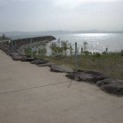
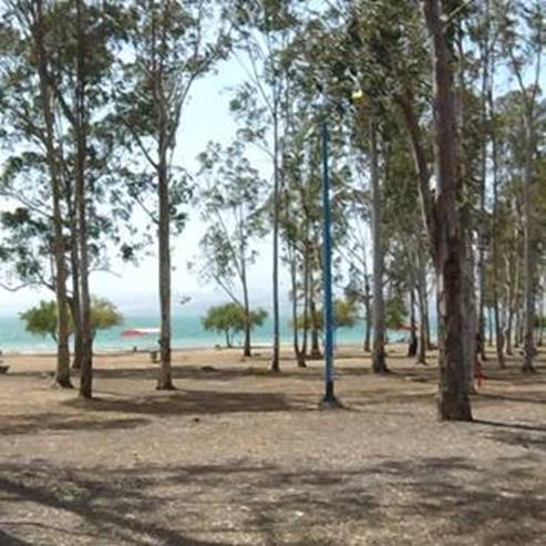
The Betiha Nature Reserve in the Beit Tsaida Valley spreads across approximately 7,000 dunams. Water flows into the Reserve from the Golan and Daliyot streams, Yehudiya and Meshushim, providing fresh and clean water all year round.
The Reserve is characterised by its water pools, springs, flood plains and its landscape of swamps and flowing rivulets all year round. These conditions are the basis for the great wealth of plant and animal species in the Reserve.
Birds are very important for the lagoons, such as the white-throated kingfisher, Pied kingfisher, species of egret and heron, and they are an important habitat for species of duck and diving birds. There is a population of great crested grebes in the lagoons, and they are an important feeding location for bird species such as the great cormorant, dwarf cormorant and types of heron.
The lagoons and the thickets of vegetation are used as breeding sites for the fish of the Kinneret, especially the Galilee tilapia. Typical water plants grow in the swampy areas of the lagoons, such as London pondweed and creeping Ludwigia, and riverbank species such as the purple loosestrife and the false grasspoly, as well as species of knotweed. The lagoons are a habitat for rare types of plants such as the waterhyssop and pink knotweed - species that are rare in their habitats in Israel.
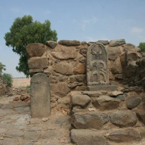
Majarsa is the Arabic name of the Nahal Daliyot lagoon, meaning ‘stone grinder’. The name is probably linked to the ancient settlement of Garsa. It is said in the New Testament that this is where Jesus performed the ‘miracle of the pigs’ (today the place is identified as Kursi).
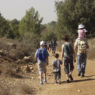
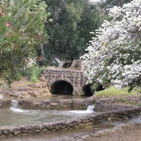
The Israel Nature and Parks Authority has laid out two hiking paths through the Nahal Daliyot lagoons: a ‘dry path’ and a ‘wet path’. The dry path enables people with disabilities to enjoy the landscape to its fullest. Those who choose the wet path, which goes down through the rivulet, can return to the starting point via the dry path.
Trip route
1. Dry path
The dry path is a concrete-paved road along the southern bank of the stream. Hikers on this path can enjoy the scenery of the Reserve without getting wet. The path runs partially through round pavilions covered with climbing plants. People with walking difficulties can visit the whole lagoon on the dry path, as well as enjoying getting into the cool water in a section set aside for wheelchair users.
2. Wet path
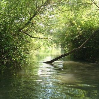
The path begins next to the changing rooms, so you can change clothes before starting. It follows the narrow passage of one of the rivulets of the Daliyot Stream, as it flows from the Golan to the Beit Tsaida Valley. Shade-giving willow trees grow along the banks of the stream, reed thickets and other plants typical of the banks of the rivulets in the Beit Tsaida Reserve. The water is shallow and the passage is partially paved with stone. Walk carefully to avoid falling.
As you go down, the passageway gets wider and deeper. After about 300 m of getting wider and deeper, it finally becomes a pool, which is exposed to the sun. The depth of this pool can change, since it depends on the season and how much rain fell in the preceding winter. Here you can enjoy a dip in the cool waters when the sun is blazing overhead. For those who have had enough, you can exit to the left via the southern bank of the stream, and go back to the dry path, but we would recommend continuing in the water to the sign which marks the end of the trail and points visitors left to the southern bank of the stream. This is the time to get out of the water and go back to the starting point of the dry route (dirt track). Walking along parts of the lagoon which are behind the signs is forbidden, in order to maintain the local nature.
- Type
- Hiking
- Region
- North
- Near to
- Tiberias
- Length
- About 1 Km
- Duration
- About 2 Hours
- Recommended season
- Summer
- Starting point
- The Majrase cer park (map)
- Ending point
- At the starting point (map)
- Special equipment
- Shoes for walking in water, hat, bathing suit and change clothes, drinking water
- Precautions
- Do not deviate from the path marked, children must accompanied by an adult, be careful to drink water
- Parking
- Parking
- Accessibility
- Accessible
- Circular
- Circular
- Drinkable water
- Drinkable water
- Bathing water
- Bathing water
- Suitable for children
- Suitable for children
- Picnic suitable
- Picnic suitable
- Phone
- +972-4-6793410
- Fax
- +972-4-6731851
Similar trails


Nearby attractions
Nearby restaurants